
Atlantic Coast Pipeline Monitoring
By Trout Unlimited
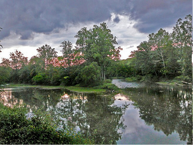
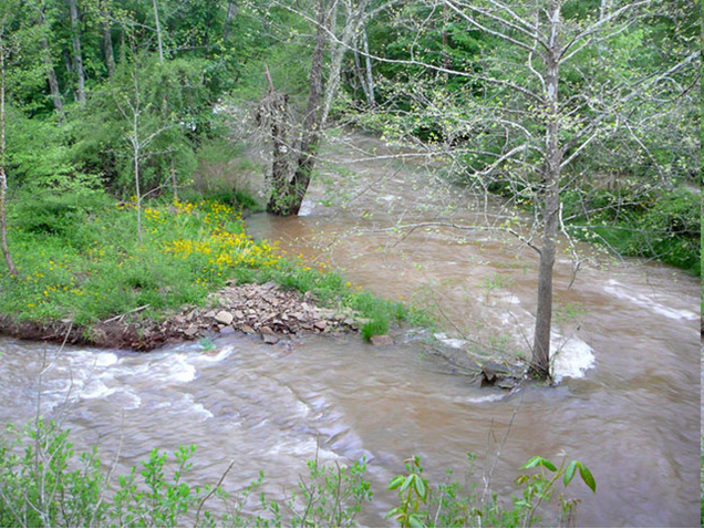
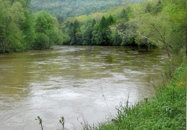
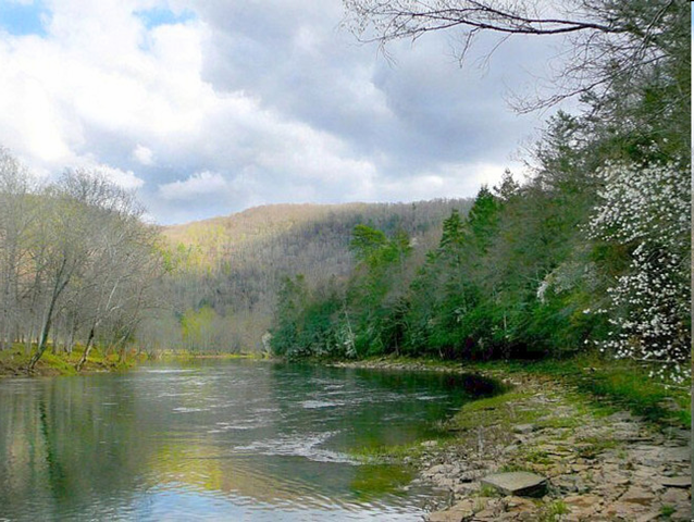
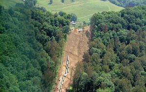 Trout Unlimited has prepared a Story Map on regional brook trout habitat and the potential negative impacts of the ACP and other proposed pipelines. The Story Map, Atlantic Coast Pipeline Monitoring, describes a strategic stream monitoring program under development in partnership with the West Virginia Rivers Coalition and other conservation groups. See Story Map
ACP Environmental Mapping System
Interactive Map of Atlantic Coast Pipeline route
See Map
Dominion’s Interactive ACP Map
See Map
Pipeline Maps
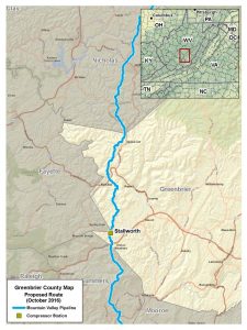
All available pipeline maps are here, including those of Summers, Monroe and Greenbrier counties.
High Quality Dominion Pipeline Maps
Dominion Pipeline Maps
These files are large and are hosted on Dropbox. No Dropbox account is need to download these pdfs.
Randolph County WV Map 14 mb
Upsher County WV Map 14 mb
Part 1 Harrison County WV Map 5 mb
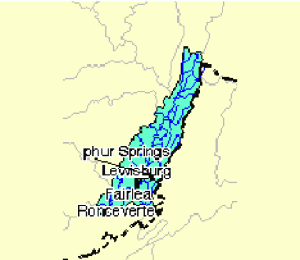
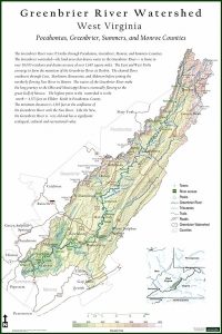
Greenbrier Watershed
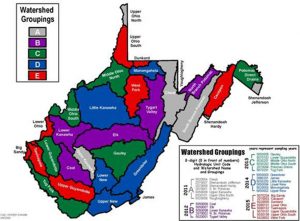
WVDEP Watershed


